



For a quick reference, the Atlantic hurricane season runs from June 1st to Nov 30th. Due to a huge uptick in activity around early 2020's or so, the NHC officially begins pushing out 2 and 7 day outlooks on May 15.
Here is an example of such product.
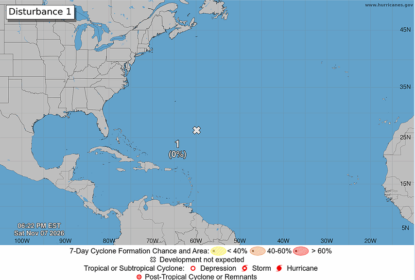
Due to the extreme el nino in place suppressing all activity across the entire basin to an exceptional degree, I called hurricane season DOA in May, and I continue to assert that. It will be premature to call it over until the fat lady sings, so i'll just tally what we have total:
Total storms: 10
Total depressions: 10
Hurricanes: 1-Isaias
Major:1 (Isaias)
First storm formation: June 17
By month:
June-1 Trop storm
Jul- 1 trop storm
Aug-3 trop storms
Sep: 1 trop storm from august 31st, +3 new trop storms
Oct: 1 hurricane, 1 trop storm
Nov (as of today 11/8/2026)- no storms
What can we expect?
A continuation of the historic el nino, and likely an extremely inactive end to the season. The most recent 0z CanSIPS run for SST anomalies on 1 month/frame indicate a total collapse of the el nino, potentially straight into a la nina in about 7 months.
What does this mean for you?
Pay attention to potentially rapidly changing weather patterns worldwide around May of next year. Winter might be pretty volatile as well, but as for the exact placement and duration of such events, is obviously unknown.
Comments
Displaying 1 of 1 comments ( View all | Add Comment )
Cysper04
Hm, interesting.....